Colonizers Deliberately Shrunk Africa on Maps Used as Educational Tools for Generations: Ethiopian Expert
19:31 04.09.2026 (Updated: 19:44 04.09.2026)
© telegram sputnik_africa
Subscribe
Colonizers Deliberately Shrunk Africa on Maps Used as Educational Tools for Generations: Ethiopian Expert
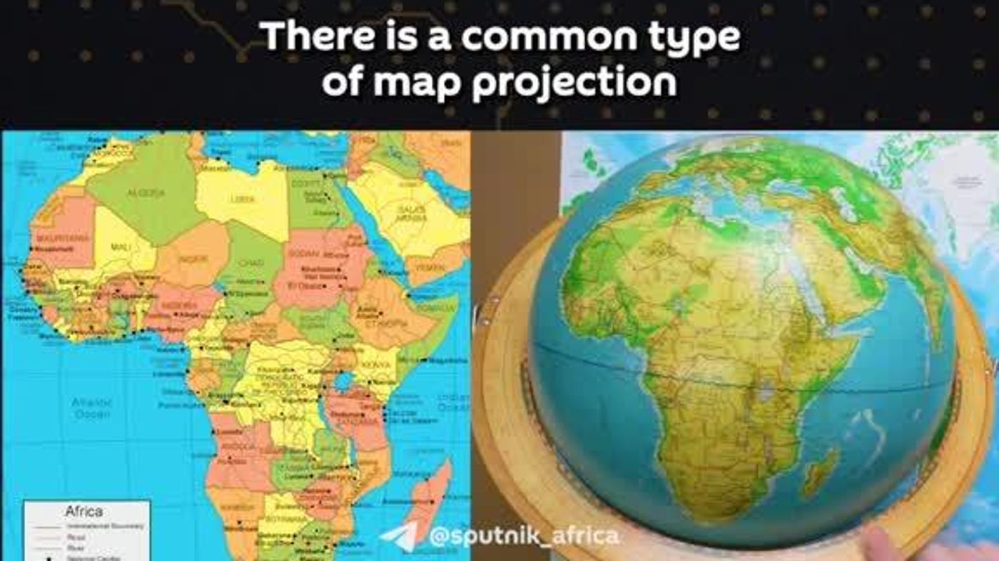
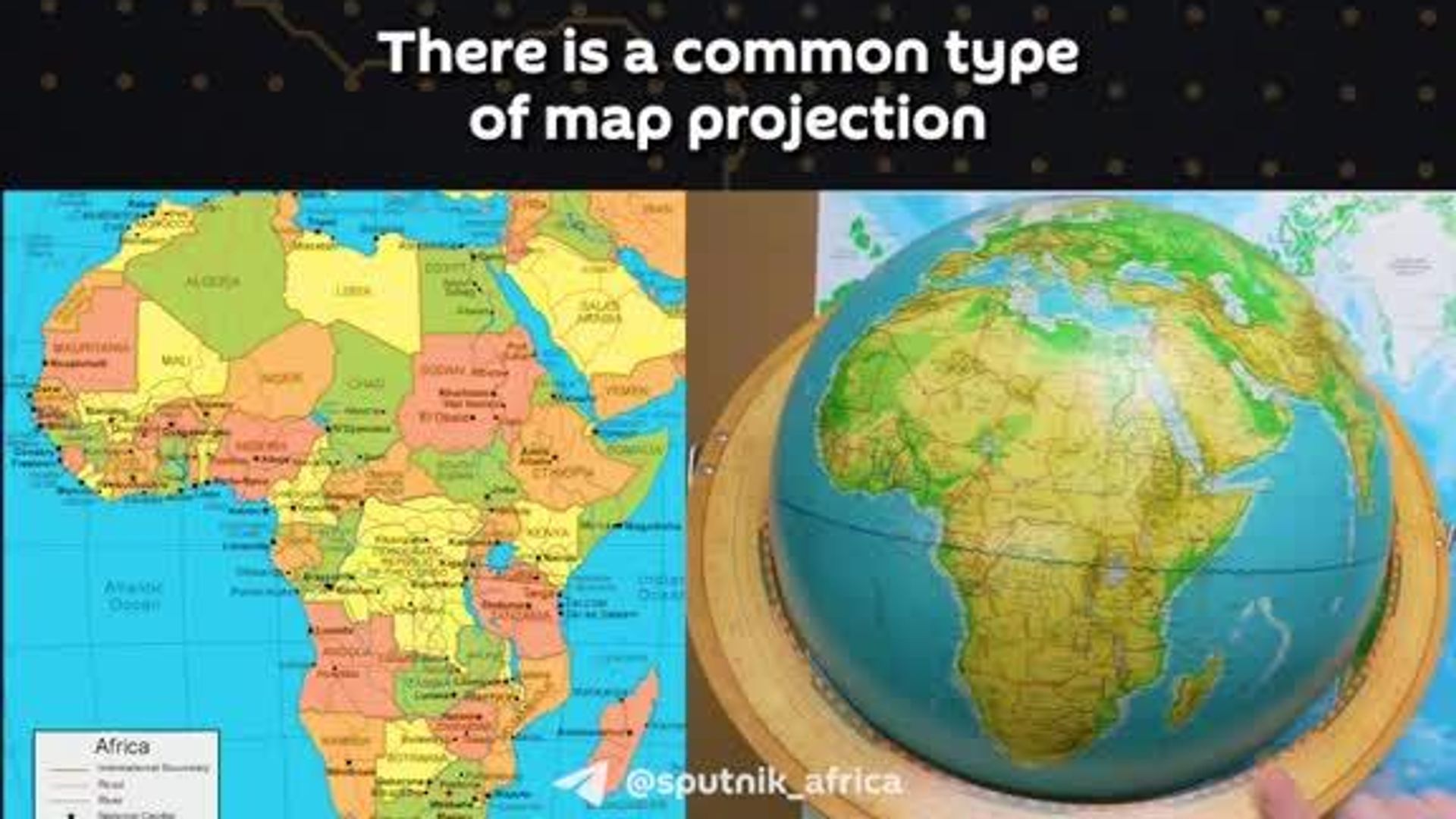
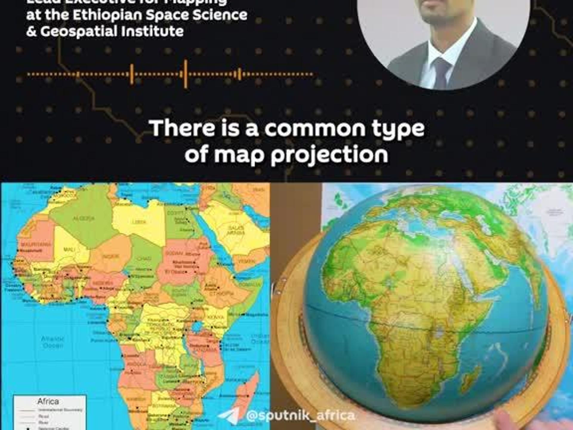
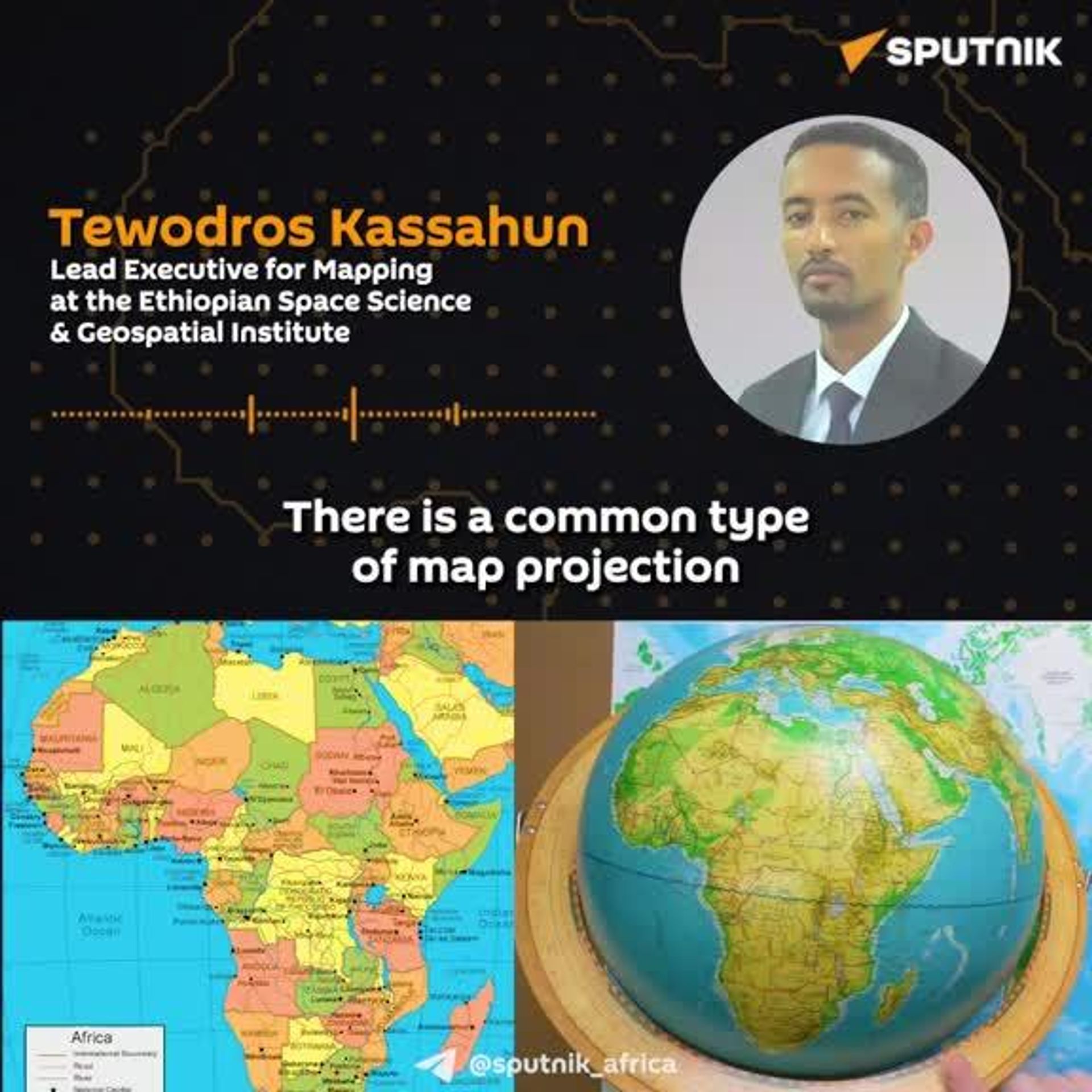
The traditional "Mercator" map, originally designed for sea navigation, has long distorted the globe by shrinking Africa and exaggerating the polar regions, Tewodros Kassahun, Lead Executive for Mapping at the Ethiopian Space Science and Geospatial Institute, told Sputnik Africa.
This was not merely a technical error, but served as a tool for colonizers to shape mindsets according to their own interests, he noted.
"Colonial powers sometimes used it as a tool to shrink Africa's appearance. Beyond just talking about it or describing it in words, this major continent was literally made to look small, codified into history, and used to teach generations," Kassahun emphasized.
Portraying Africa smaller on maps has caused factual and historical damage to generations, he added.
Subscribe to @sputnik_africa