US Map Mislabels Every African Country During Global Conference Presentation
US Map Mislabels Every African Country During Global Conference Presentation
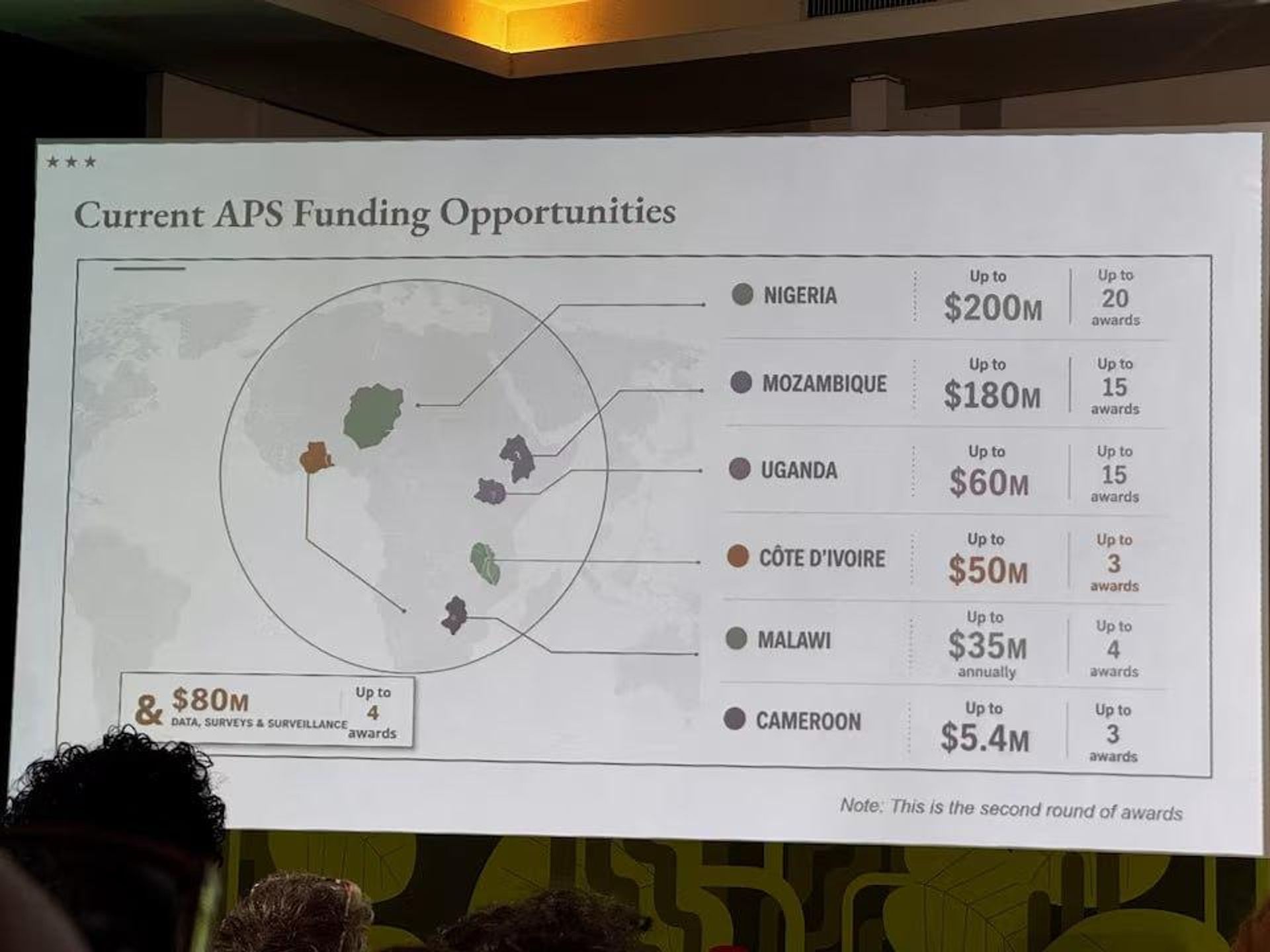
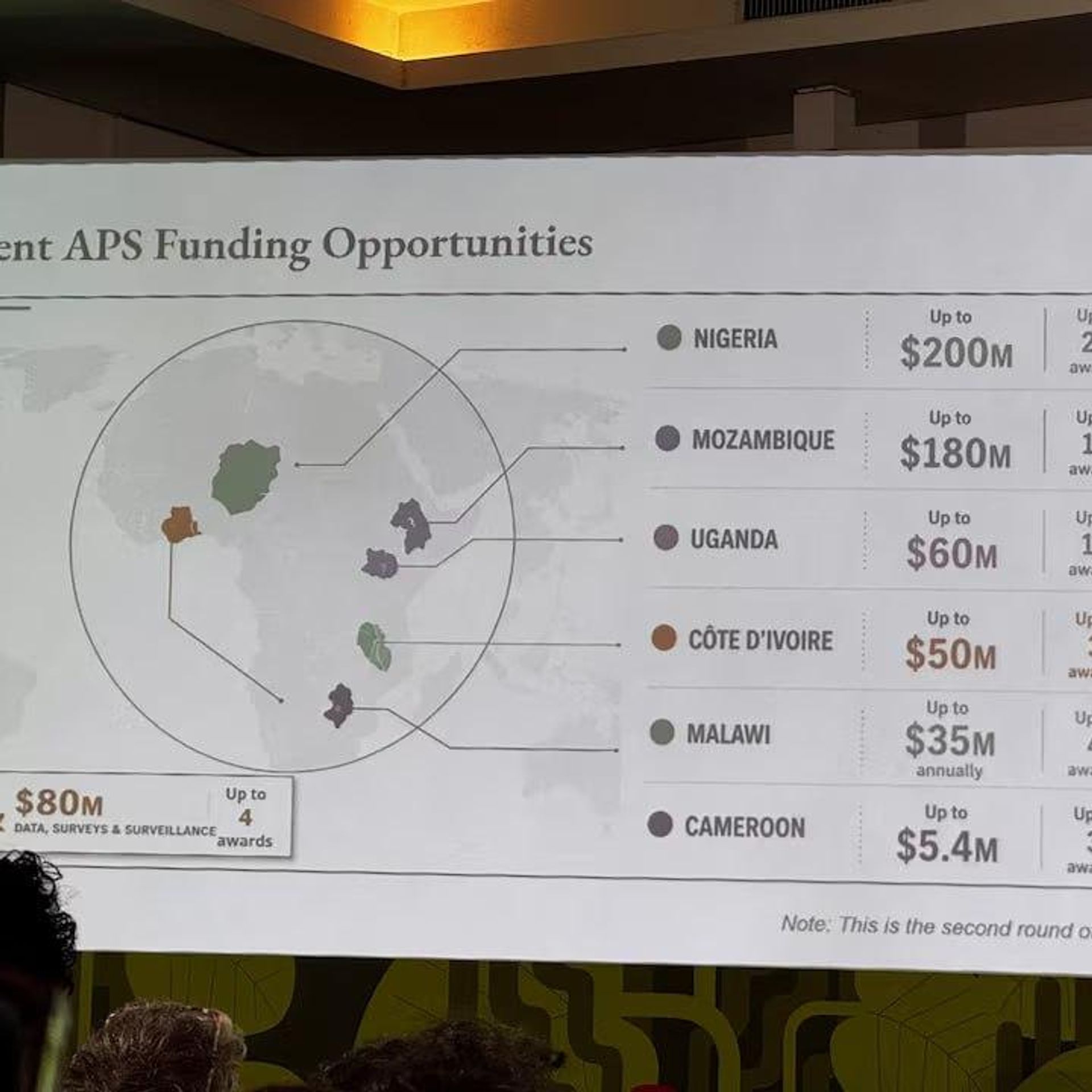
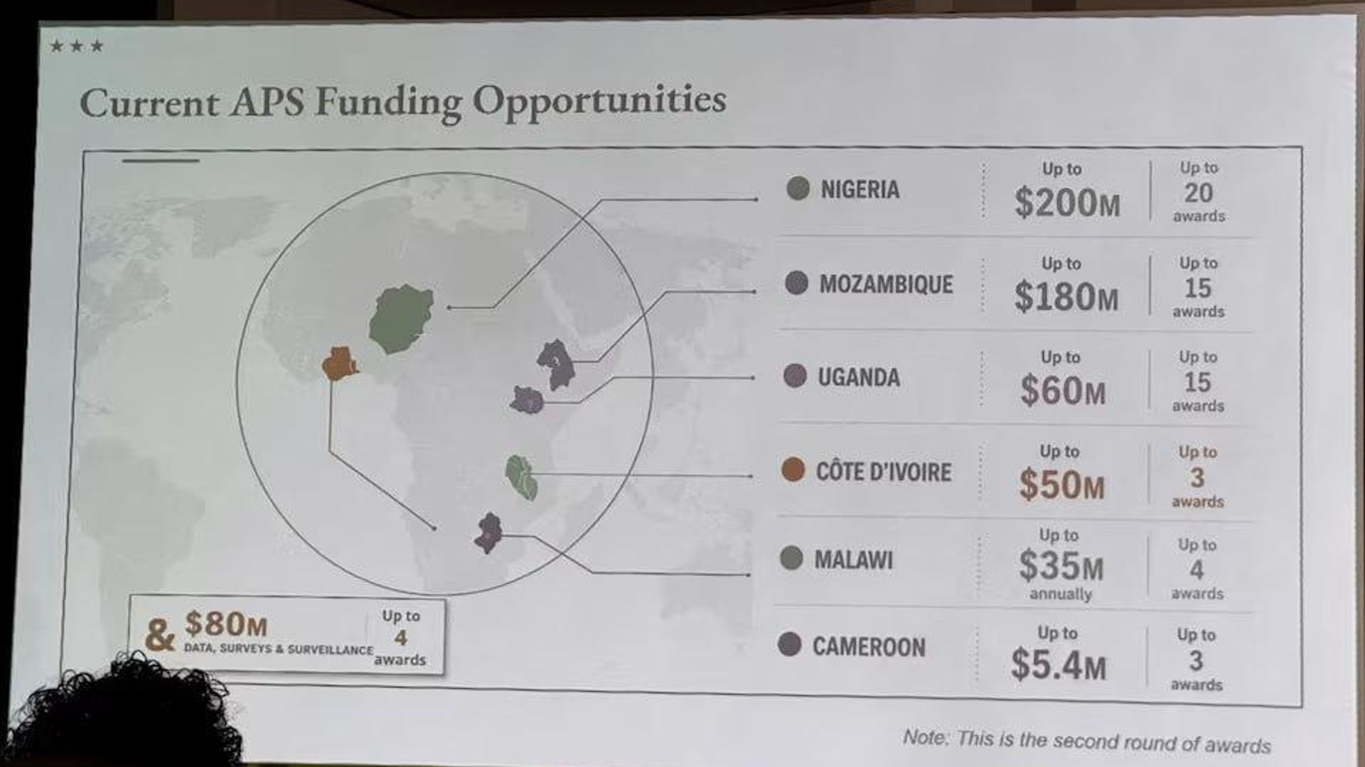
A map displayed during a US State Department presentation at the AIDS 2026 conference in Rio de Janeiro reportedly mislabeled every African country, prompting criticism from attendees who shared screenshots online.
Among the errors, Nigeria was shown as a landlocked country in the Sahara Desert, Mozambique was moved to the Horn of Africa, and Côte d'Ivoire was placed on the opposite side of the continent.
Media analysis found that the image contained an AI watermark indicating it had been created using OpenAI tools. OpenAI said it was investigating the report.
The State Department said the map was produced by a team member who hurriedly changed the presentation before the event and stated:
“We take full responsibility for the confusion and misrepresentation it caused for attendees, including our African partners.”
Subscribe to @sputnik_africa